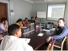
Geospatial Database Analyst Albert Decatur worked with Kathmandu University and civil society organizations in Nepal this July to visualize development problems and projects using geographic information software (ArcGIS) from Esri. Decatur’s five-day ArcGIS workshop was an important part of the AidData Center for Development Policy’s efforts to mobilize local demand among Nepali institutions to use geospatial data and tools to track, deliver and evaluate aid more effectively. ArcGIS software enables any user to overlay different datasets and plot that data on a map to see the where development projects are located relative to areas of greatest need. With such visualizations, civil society organizations can better inform their local governments of shortfalls in service delivery or plan future projects to remedy gaps. Read more at: http://blog.aiddata.org/2013/08/nepali-organizations-use-arcgis.html