Showing posts with label conservation. Show all posts

2013-06-08

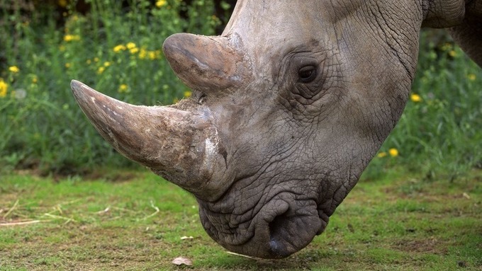
Can Drones Save African Wildlife From Poachers?


A Kenyan reserve plans to use an unarmed drone to monitor the area for illegal hunters.
Robert Breare, who works in strategy and innovation at Ol Pejeta, toldMashable the decision came during a brainstorming session on technology and its role in conservation.  "What this does is put an 'eye in the sky' to monitor things we just can't see from the ground."

Read more at: http://mashable.com/2013/06/05/poachers-drone/


2012-05-06

EcoMOBILE: Blended learning across virtual and natural ecosystems


See on Scoop.it - Studying Teaching and Learning


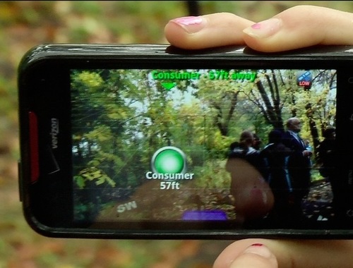
EcoMOBILE (Ecosystems Mobile Outdoor Blended Immersive Learning Environment) is an extension of the EcoMUVE curriculum, developed at the Harvard Graduate School of Education with funding from the Institute of Education Sciences. In EcoMUVE, students explore a virtual representation of a pond ecosystem. In EcoMobile, funded by the National Science Foundation and Qualcomm’s Wireless Reach initiative, students will use the EcoMUVE software and also extend their learning with mobile technologies through one or more field trips to a local pond environment. Two forms of technology for science education will enhance their experience in the real world.

See on ecomobile.gse.harvard.edu

via Tumblr EcoMOBILE: Blended learning across virtual and natural ecosystems

2009-09-27

So how did you spend your Saturday evening?

I'm fortunate. I live next to the beach, which is obviously very enjoyable. And just occasionally it throws in a few surprises.

At about 7.00pm last night I was walking back from the supermarket with two plastic bags (yes - we still use those here) filled with groceries, got into the parking lot of the flats where I live and I noticed all these baby turtles going the wrong way - away from the sea towards the road. So I put all my groceries in one plastic bag to empty the other one, then used it to put the baby turtles in as I caught them. I must have collected about 50 of them and thought I had got the lot. So I walked the 20 metres on the path alongside the flats to the beach and the sea, waded in a bit and released them all.

Photograph by Scott RobinsonThen I came back to collect my other bag to go upstairs to my flat. But the baby turtles had other ideas. There were more of them, all scuttling across the car park in the wrong direction. So I collected that lot, probably about 30 to 40 of them, and then took those down to the sea. Came back and - guess what - there were more of them - so I gathered those up and took them down to the sea to join their brothers and sisters.

On my last trip back I couldn't see any more, so I dashed upstairs to take the groceries in and change into something more suitable for turtle catching (though I'm not sure that turtles are very fashion conscious). Then back down to see if there were any more.


How many eggs do these things lay And the mother just left them all for me to look after. Phew!!! Pretty irresponsible parenting if you ask me.

Apparently, after hatching, the turtles are confused by the lights and head towards them instead of down the beach to the sea. An understandable mistake.

Well, on my return I found that a neighbour had noticed the turtles' plight and decided to join me in scooping them up. But now we were only catching a few late developers or stragglers. So two more trips with about 10 turtles and we reckoned we'd got the lot. So we decided to call it a night. And what a night!!

What's all this got to do with ICT? Absolutely nothing. But it explains why I didn't write the usual blog last night

2009-02-12

Software for Environmental Protection

On January 16, 2009, NGO Conservation International launched Croizat, an Innovative Open-System Software to Map the Geographic Distribution of Animals and Plants

The open-source software package for the analysis of geographic distribution of animals and plants was launched by Conservation International (CI) in Brazil. This innovative technology will help the scientific community identify priority areas for environmental conservation based on geographical patterns of species.

Croizat uses a panbiogeographic approach, one of the main areas of research of biogeography, which is the study of the distribution of living creatures on our planet. Before the software was launched, there was no standard, general-purpose software for the analysis of distributional data under the panbiogeographic method, which was created by the Franco-Italian botanist Léon Croizat (1894–1982).

This picture shows the distribution of Zygodontomys rodents in northern South America represented as a track graph computed by Croizat (with satellite image background)

The idea behind panbiogeography is that biotas, or the total of animals and plants in a particular area, evolve through geography barriers. “The panbiogeographic method in which this software is based views patterns of distribution of species as a fundamental aspect of biodiversity,” says Croizat’s main developer, Mauro Cavalcanti, adding that the identification of these patterns help to single out areas that are both highly rich in species and historically important in terms of evolution and distribution of biotas.

The Croizat is based on the same analytical model of many Geographic Information Systems (GIS), but rather than concentrating on database and graphics flexibility, the Croizat is designed to perform specialist biological analyses, many of which are not available from GIS's.

For José Maria Cardoso da Silva, Conservation International’s Vice-President for South American, this technological innovation is crucial to the identification and protection of areas rich in biodiversity. “By launching the Croizat, CI intends to disseminate scientific knowledge for free and to all the researchers in the field of environmental conservation,” he said. “This is top-notch software that will contribute greatly to the planning of conservation actions.”

The program is written in Python (www.python.org) – an interactive, object-oriented programming language – coupled with the portable, multi-platform wxPython interface management library, and other free external libraries also written in Python and C/C++ (NetworkX, PIL, NumPy, Matplotlib and its Basemap module). The Croizat is platform-independent, and should run on any PC compatible with x86 architecture, under GNU/Linux, Mac OS X, and MS-Windows.

Some key features:
  • An easy-to-use, interactive Graphical User Interface (GUI), with pulldown menus, dialog boxes, and other standard GUI controls, with almost identical interfaces on GNU/Linux, Microsoft Windows, and Apple Macintosh personal computers.
  • Data import in a variety of formats, including comma-delimited text and ESRI shapefiles.
  • Locality records are displayed as symbols (squares, circles, crosses, etc) on the map, with different symbols for each species.
  • Optional display of rivers and country boundaries.
  • Zoom in and out on areas of interest.
  • Maps can be saved as graphic files, or copied to the clipboard and pasted into other applications.
The Croizat can be downloaded at http://panbiog.infobio.net/croizat